-

| xxMap |
Stollenausgang Mittelstation Hohlaub |
Mapxx |
-
")
Mittel Allalin (3390m)
-

Hohlaubgrat
-
, Spechhorn / Pizzo di Antigine (3189m)")
Stellihorn (3436m), Spechhorn / Pizzo di Antigine (3189m)
-
")
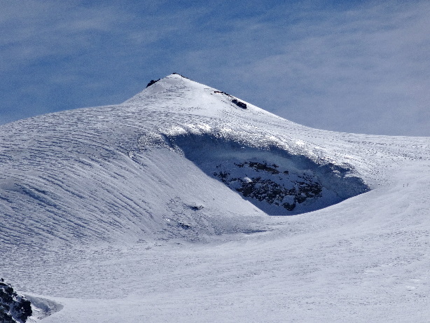
Allalinhorn (4027m)
-

Hohlaubgletscher
-

Hohlaubgletscher
-
")
| xxMap |
Britanniahütte SAC (3030m) |
Mapxx |
-

Allalingletscher
-
 und Strahlhorn (4190m)")
Fluchthorn (3795m) und Strahlhorn (4190m)
-
")
Rimpfischhorn (4199m)
-
 und Strahlhorn (4190m)")
Fluchthorn (3795m) und Strahlhorn (4190m)
-
")
Adlerpass (3798m)
-
")
Rimpfischhorn (4199m)
-
")
Strahlhorn (4190m)
-
 und Allalinpass (3568m)")
Rimpfischhorn (4199m) und Allalinpass (3568m)
-
-
")
Rimpfischhorn (4199m)
-

Aufstieg
-

Felsformation am Allalinhorn
-
")
| xxMap |
Allalinpass (3568m) |
Mapxx |
-
")
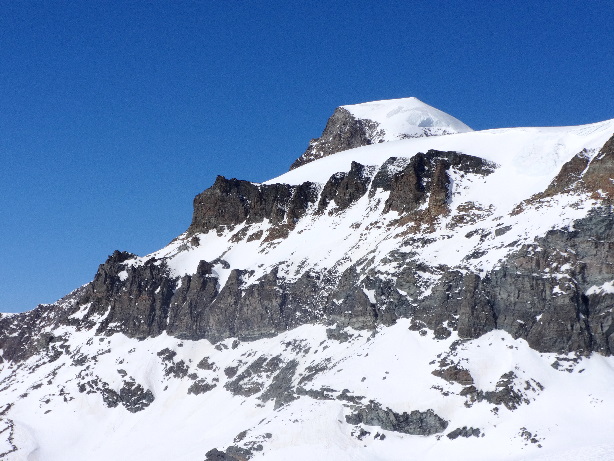
Allalinhorn (4027m)
-
-
 und Weisshorn (4506m)")
Schalihorn (3974m) und Weisshorn (4506m)
-
")
Zinalrothorn (4221m)
-
, Obergabelhorn (4062m), Wellenkuppe (3903m)")
Dent Blanche (4357m), Obergabelhorn (4062m), Wellenkuppe (3903m)
-
, Matterhorn (4478m), Dent d'Hérens (4171m)")
Furgggrat (3491m), Matterhorn (4478m), Dent d'Hérens (4171m)
-

Matterhorn, Dent Blanche, Obergabelhorn, Wellenkuppe, Zinalrothorn, Weisshorn
-
, Furgghorn (3453m)")
Theodulhorn (3469m), Furgghorn (3453m)
-

Mellichgletscher
-
")
Matterhorn (4478m)
-
")
Allalinhorn (4027m)
-
")
Rimpfischhorn (4199m)
-
 und Pfulwe (3314m)")
Matterhorn (4478m) und Pfulwe (3314m)
-

Abfahrt
-
")
Pfulwe (3314m)
-
")
Weisshorn (4506m)
-

Mellichen
-

Täschalp
-

Täschalp
-
")
Sattelspitz (3162m)
-
")
| xxMap |
Ottafe (2205m) |
Mapxx |
-
")
Wissgrat (3103m)
-

-

Täsch